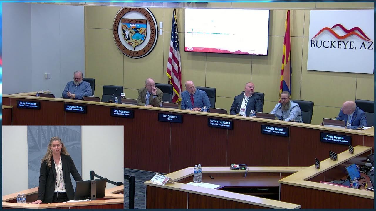
Buckeye Council Receives Complex Four-Part Development Presentation Spanning Two Community Marketplaces and Nearly 2,000 Acres
City council meeting presentation of a complex multi-request development application involving annexation, general plan amendments, and two major community marketplace plan amendments totaling nearly 2,000 acres.
Buckeye Council Receives Complex Four-Part Development Presentation Spanning Two Community Marketplaces and Nearly 2,000 Acres
Rob Goopser of Collier's Engineering and Design presented a multi-layered development application to the Buckeye City Council on July 8, 2026, seeking four interconnected entitlements: annexation of just under 50 acres, a minor general plan amendment covering just over 125 acres, a major community marketplace plan amendment removing 741 acres from Silver Rock, and a substantial West Park CMP amendment affecting a total of 1,948 acres. The presentation mapped out a complex patchwork of properties, some east and west of SR-85, others near the I-10 and Oglesby Road corridor, establishing the geographic and procedural framework for what staff and the applicant described as an intricate, multi-phase initiative.
No votes were taken at the meeting. The session functioned as a formal presentation and discussion opportunity, with council members receiving visual documentation of the project's scope and hearing preliminary framing from both staff and the applicant. The fragmentation of the proposal across two separate community marketplace plans, the removal of significant acreage from an existing CMP (Silver Rock), and the expansion of another (West Park), signal that subsequent phases will likely involve planning-commission review, formal staff recommendations, and public hearings before the council takes final action.
Key Speeches
The transcript captures only the applicant's presentation opening. No council member speeches, staff recommendations, or public comment were transcribed in the materials provided. The applicant's remarks establish scope:
"The applicant tonight is Rob Goopser with Collier's Engineering and Design, and again, four requests annexation just under 50 acres, minor general grant for just over 125 acres, and then two major CMPA amendments, one to Silver Rock, removing 741 acres from that CMP, and then another one for West Park, impacting a total of 1,948 acres." — [Staff introduction, presumably City Planner]
The presentation then pivoted to geographic detail: "This is a complete complex project with various portions of the site, only being included in some of these requests."
Timeline
- Applicant presentation: Rob Goopser of Collier's Engineering and Design outlined the four interconnected requests, providing maps showing properties relative to I-10, Oglesby Road, and SR-85. He noted that some parcels lie east of SR-85 (portions of the annexation) and others west, requiring careful coordination across jurisdictional and planning-area boundaries.
- Staff recommendation: Not captured in the provided transcript excerpt.
- Public comment: Not indicated in the transcript excerpt.
- Council discussion: Not indicated in the provided transcript excerpt.
- Vote: No vote taken; this was a presentation/study-session item.
Project Details
- Applicant / Presenter: Rob Goopser, Collier's Engineering and Design
- Requests (Four):
- Annexation: Just under 50 acres, with portions east and west of SR-85
- Minor General Plan Amendment (GPA): Just over 125 acres, covering the annexation property and adjacent areas
- Silver Rock Community Marketplace Plan (CMP) Amendment: Major amendment, removing 741 acres from the existing Silver Rock CMP
- West Park Community Marketplace Plan (CMP) Amendment: Major amendment, affecting a total of 1,948 acres within the West Park planning area
- Geography: Properties located southwest of the I-10 and Oglesby Road intersection (also referenced as SR-85), with some smaller portions east of SR-85. The mapping shows proximity to the interstate corridor.
- Zoning / Designations: Tied to two existing community marketplace plans (Silver Rock and West Park); specific proposed land-use designations or zoning categories not stated in the provided transcript excerpt.
Outcome & Next Steps
The council received the presentation without scheduling a vote. The four requests remain in the preliminary stage, pending formal staff analysis, planning-commission review, and likely a subsequent public-hearing phase. The transcript does not indicate whether the council directed staff to schedule a public hearing, establish a timeline, or request additional studies or revisions.
Controversies & Context
None evident from the provided transcript excerpt. The applicant's presentation focused on project scope, geography, and the number of entitlements required. No public comment, council member questions, or identified concerns are documented in the materials provided.
The simultaneous removal of 741 acres from an existing CMP (Silver Rock) while proposing to affect 1,948 acres in another (West Park) suggests either a portfolio restructuring or the development of properties that straddle existing plan boundaries. The detail that various portions of the site are included in only some of the four requests indicates that the applicant is carefully tailoring each entitlement to the specific properties it affects, a procedurally complex approach that may require staff to track acreage and land-use designations across multiple planning documents.
Duration
Not stated in the provided transcript excerpt.
Other Notable Observations
The transcript excerpt cuts off mid-presentation, with the applicant beginning to describe the annexation property and promising additional detail on each component. The text "I'll talk about each of these things in more detail in this presentation" and "I'll show you a map of what this looks like" suggest that a full visual presentation followed, but the complete substance of that presentation is not captured in the provided materials. Full council discussion, staff recommendations, and any questions from council members are similarly absent from the provided excerpt.
The project's scale—nearly 2,000 acres in aggregate across the West Park amendment alone, plus the Silver Rock reduction of 741 acres and the annexation and GPA—positions this as a significant long-range planning undertaking. The complexity and geographic fragmentation (split across SR-85, affecting two separate CMPs, and including both removals and expansions of CMP boundaries) will likely require detailed coordination between city planning staff, the applicant, the planning commission, and community stakeholders before a vote is taken.
View source transcript ▼
Source: Buckeye City Council Meeting — July 8, 2026. Auto-generated YouTube transcript; may contain transcription errors.
You I'll talk about each of these things in more detail in this presentation, but the applicant tonight is Rob Goopser with Collier's Engineering and Design, and again, four requests annexation just under 50 acres, minor general grant for just over 125 acres, and then two major CMPA amendments, one to Silver Rock, removing 741 acres from that CMP, and then another one for West Park, impacting a total of 1,948 acres. And I'll show you a map of what this looks like.
This is a complete complex project with various portions of the site, only being included in some of these requests. I'll try to walk you through this. Just to give you first, you're out of 85 or Oglesby Road, this is I-10 here to the north. This map primarily deals with the area southwest of I-10 and Oglesby Road, or S-85. There are some small portions east of 85 that are included, and I'll talk about that.
So the first of the requests is the annexation, and the annexation applies solely to this property here outlined in red. It's just under 50 acres, as I mentioned. The second of the requests, the minor general plan amendment, applies to the annexation property, as well as...